


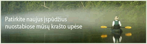
The river Nova flows in Marijampole county, Sakiai district, the river Sesupe right tributary.
Length of the river 69 km, the basin area 404 km ². The source in Oznugariai forest, at Janciai village, 8 km southwest from Lekeciai village. Flows through flat plain of glacial origin in upper section to southwest, in middle section to west, in lower section to northwest. Flows into the river Sesupe 94 km from its mouth at Panoviai village. During high floods the river in lower section flooded the valley. Average gradient 61 cm/km. Rated discharge at Bliudiskiai village (14 km to mouth): max 25 m³/s, average 1.24 m³/s. Average discharge at the mouth 2.38 m³/s. In dry summers in some places the river dries, in cold winters freezes to the bottom.
Not recommended in dry summer
Strainers, fallen trees
WW 0 (1-)
Distance from the mouth
13.3 Kudirkos Naumiestis - Sintautai road bridge. left Kutai. right Kirmiskis. Average gradient to the river Penta 67 cm/km. The river width 7-10 m. At the river in some places small forests, on the banks trees and bushes. In the riverbed strainers, fallen trees. The banks steep, height 1-2 m. Current average.
10.5 right hillfort Klepai.
9.4 Bridge. right Klepai. left Gustainiskiai.
8.9 left Nopaitys.
8.8 Sintautai - Turcinai road bridge. left Buksniai. Average gradient to the mouth 67 cm/km.
5.5 right Penta.
5.2 Bridge. left Vaisvilai. right Kasikenai.
0.1 Kelio Panoviai-Turčinai tiltas. right Panoviai.
0.0 The Nova flows into the river Sesupe.
© 2014 J.D.Endriukaitis