


Maps of the river Tenenys
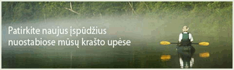
Maps and aerial photos of the river Tenenys. Kayaking, canoeing, rafting, paddling the river Tenenys. Google maps the river Tenenys, Lithuania, Taurage and Klaipeda county, Silale and Silute districts, Teneniai, Gardamas, Saugai and Kintai municipality. Places near the river: village Zakainiai, village Joneliai, the lake Kupstis, forest Kusines, forest Meskines, forest Budvieciu, forest Aukstosios, forest Meizeliu, forest Paiciu, village Laukstenai, village Jokubiske, village Pypliske, village Gudiske, village Nausedai, village Kukuiliske, village Gardamas, village Uzlauke, village Ziogai, forest Ramuvos, village Ramoniskiai, village Kurpai, the pond of Ramuciai, the dam at Ramuciai, village Ramuciai, village Eidaiciai, forest Norkaiciu, village Barvai, forest Barvu, village Lapynai, village Lasai, village Bruzai, village Miestaliai, village Medaliai, village Petreliai, village Vytuliai, village Aukstumalai, Aukstumala swamp, forest Sakuciu, village Vabalai. Tributaries of the river Tenenys: the brook Meimentas, the creek Durupis, the river Sartike, the river Siaude, the river Ringalis, the river Ringys, the river Silupis, the river Graumuo, the river Lendrupis, the river Pjauniai, the river Pilupis, the river Peklale, the river Zlagatas, the river Bisa, the river Siusis, the river Alksna, the river Zumiske, the river Minija. Points of interest, sightseeings, protected places: hillfort Zakainiai, hillfort Eidaiciai, Meskine Pedologic Reserve, Norkaiciai Botanical Reserve,Minija ichthyologic Reserve. Places to stay, rural tourism: Campsites: Kayak, canoe, raft rentals: